


Amaravati: The Meteorological Department (MeT) forecast heavy rain in parts of Prakasam, Guntur, Krishna, West Godavari, East Godavari, Visakhapatnam, Kurnool and Cuddapah until 8 a.m. on Tuesday.

Similarly, it predicted thunderstorms with lightning over the next four days in parts of north coastal Andhra Pradesh, Yanam and south coastal areas.
“The low pressure area over south Chhattisgarh and neighbourhood with associated cyclonic circulation extending up to 4.5 km above mean sea level tilting southwestwards with height persists,” said a MeT official.
She said the monsoon trough at mean sea level now passes through Bikaner, Ajmer and Shivpuri while the centre of low pressure area is over south Chhattisgarh and neighbourhood and then southeastwards to west central Bay of Bengal.
“The east west shear zone roughly along latitude 15 degree north between 5.8 km and 7.6 km above mean sea level persists,” the MeT official added.
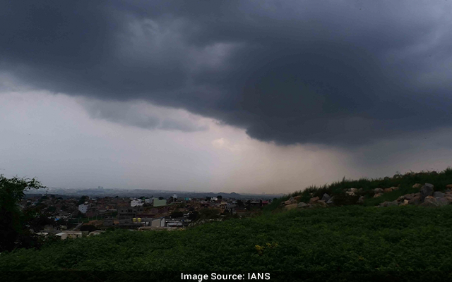
Though Sunday was mostly cloudy with a slight drizzle in the evening in Bhimavaram in West Godavari district, Monday started off with a heavy drizzle which subsided by late morning.
However, Monday continues to be cloudy in several places across the state.