In a significant urban planning move, the Greater Bengaluru Authority is exploring the possibility of granting official road status to a 318-km stretch of roads proposed along buffer zones in Bengaluru.
Proposal under development plan
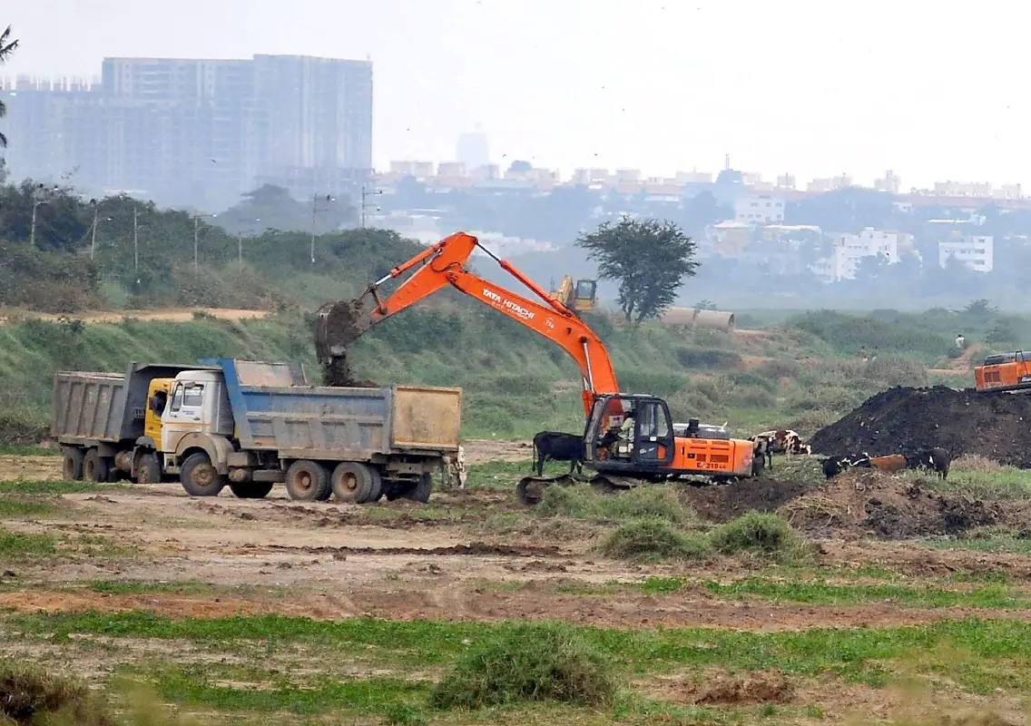
The proposal is part of the Comprehensive Development Plan (CDP), aimed at improving connectivity and formalising infrastructure in rapidly expanding areas of the city. The identified stretches run along buffer zones of lakes, stormwater drains, and other sensitive areas.
Officials believe that bringing these roads under formal status could help regulate development and improve access in underserved regions.
Balancing development and ecology
The move, however, raises concerns about environmental impact. Buffer zones are typically protected areas meant to safeguard water bodies and natural drainage systems. Experts caution that converting such stretches into recognised roads must be handled carefully to avoid ecological damage.
Urban planners stress the need for strict safeguards to maintain the balance between development and environmental protection.
Addressing connectivity gaps
Authorities argue that the initiative could ease congestion by creating alternative routes and improving last-mile connectivity. As Bengaluru continues to grow, expanding its road network has become a key priority.
The proposed roads are expected to support both residential and commercial expansion in peripheral areas.
Need for clear regulations
Experts highlight the importance of transparent guidelines and public consultation before implementing the plan. Ensuring compliance with environmental norms and urban planning principles will be crucial.
A step towards structured growth
If approved, the proposal could mark a major shift in how buffer zones are utilised in urban planning. The decision is expected to have long-term implications for Bengaluru’s infrastructure and environmental sustainability.