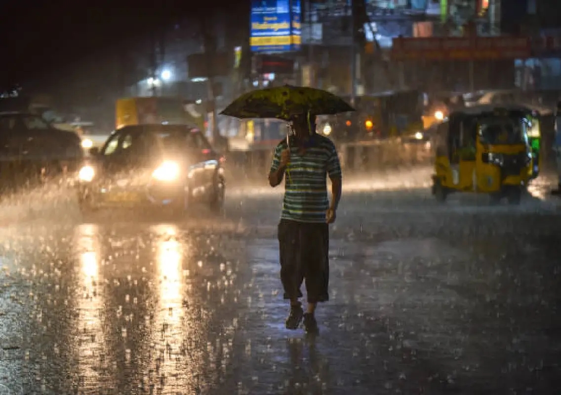
New Delhi: A wet and turbulent day is expected across large parts of India as the India Meteorological Department (IMD) has issued alerts for heavy rainfall, thunderstorms, hailstorms and strong winds on Monday, March 30, 2026.
The changing weather conditions are being driven by a Western Disturbance currently positioned as an upper-air cyclonic circulation over northern Iran and the adjoining Caspian Sea. Another such system is expected to impact northwest India from April 2, prolonging the unsettled weather.
Heavy rain and snowfall in northern states
The IMD has forecast significant weather activity across northern regions, particularly in Jammu and Kashmir, Himachal Pradesh and Uttarakhand.
The Kashmir Valley is likely to witness isolated heavy rainfall and snowfall. These regions are also expected to experience fairly widespread light to moderate rain or snow, accompanied by thunderstorms and gusty winds ranging between 30 and 50 kmph.
Hailstorms are also likely in parts of Himachal Pradesh, Punjab and east Rajasthan, posing risks to crops and infrastructure.
Delhi to see cloudy skies and light rain
In Delhi, the day is expected to begin with partly cloudy conditions, gradually turning overcast by afternoon. The IMD has predicted light rain or drizzle accompanied by thunderstorms and lightning later in the day.
Maximum temperatures are expected to remain between 28°C and 30°C, slightly below normal, while minimum temperatures may range between 20°C and 22°C.
Weather experts indicate that while nearby regions such as Punjab may experience stronger dust storms and heavier rainfall, Delhi-NCR is likely to see only brief spells of rain and isolated storms.
Northeast states on alert
The IMD has issued alerts for heavy rainfall across several northeastern states, including Arunachal Pradesh, Assam and Meghalaya between March 30 and April 1.
Additionally, states such as Nagaland, Manipur, Mizoram and Tripura are likely to witness heavy rainfall specifically on March 30.
Authorities have advised farmers in these regions to harvest mature crops and store them safely to minimise potential damage.
No immediate heatwave threat
Despite entering the summer season, a heatwave is unlikely in the near term. Frequent western disturbances are expected to keep temperatures 2°C to 5°C below normal across northwest and central India until at least mid-April.
This pattern is expected to delay the onset of extreme heat conditions typically seen during this period.
Advisory for fishermen and farmers
The IMD has also issued advisories for fishermen, warning them against venturing into the southeastern Bay of Bengal and parts of the Arabian Sea near the Oman coast due to rough sea conditions.
Farmers, especially in regions like Vidarbha and Chhattisgarh, have been advised to take precautionary measures, including harvesting ready crops and protecting stored produce from potential hailstorms and heavy rain.
Conclusion
With multiple weather systems influencing conditions across the country, India is set to experience a spell of unstable weather marked by rain, storms and gusty winds. Authorities have urged residents to stay updated with forecasts and take necessary precautions to minimise risks.