







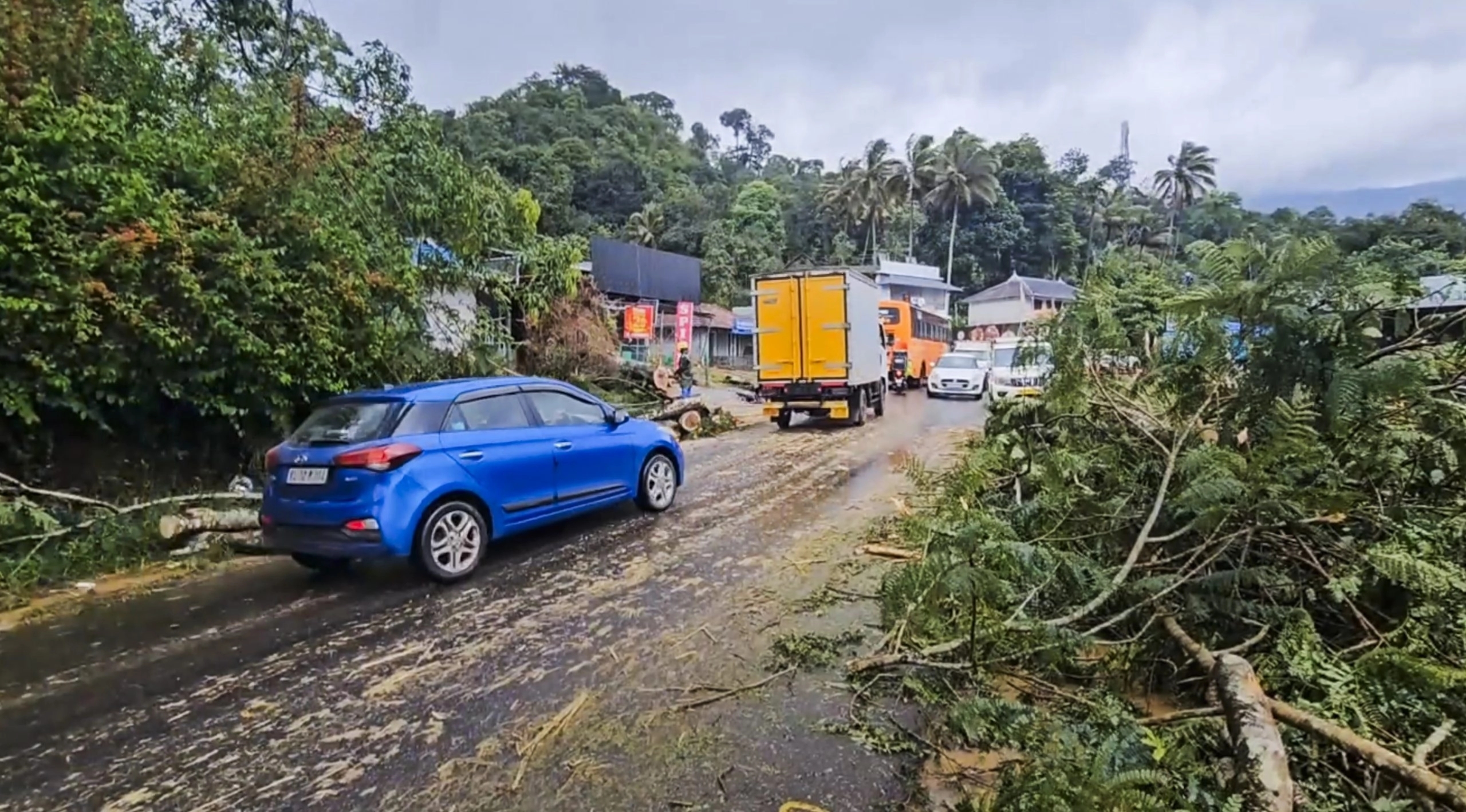


IDUKKI: In the scenic but disaster-prone hills of Idukki, Kerala, authorities are turning to cutting-edge technology to battle nature’s growing threats. A first-of-its-kind system — Idukki Disaster Resilience and Information System (IDRIS) — will be launched this monsoon to provide real-time alerts for landslides, flash floods, forest fires, and droughts.
Announced by District Collector V Vigneshwari, IDRIS combines Artificial Intelligence, satellite imagery, sensors, and GIS mapping to monitor hazards and guide safer infrastructure development. The pilot phase will be implemented in Adimaly and Rajakkad, two zones repeatedly struck by floods, landslides, and human-wildlife conflict.
IDRIS will feature:
-
46 sensors to track soil movement, rainfall, and moisture,
48 river gauges to monitor tributaries like Thodupuzha and Pamba,
A GIS-based control room feeding data into the District Emergency Operations Centre,
Multilingual alerts via SMS, sirens, radio, and a mobile app — including Malayalam, English, Tamil, Hindi, and tribal dialects.
Officials say the platform will help local authorities make faster, better-informed decisions and ensure new roads, buildings, and water projects are placed in safer zones. The District Disaster Management Authority (DDMA) is spearheading this high-tech initiative.
With over 600 landslides since 2000, recurring floods, and other environmental threats, Idukki’s push to become India’s most disaster-resilient hill district is not just timely—it’s essential.