







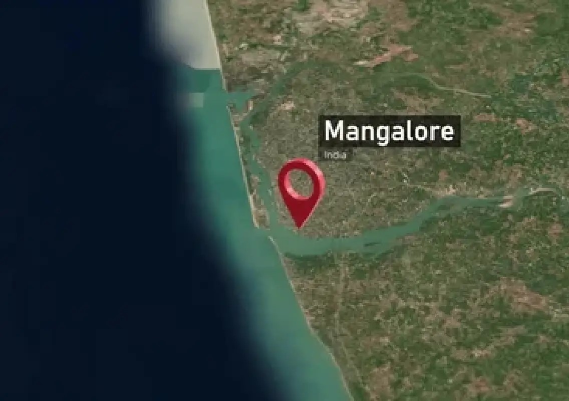


Mangaluru: A social media post comparing satellite views of Mangaluru and Mysuru has sparked an interesting question about which of the two Karnataka cities appears larger when viewed from above.
Satellite view sparks city comparison
Anson Garry shared the comparison on X, asking followers: “Mangalore Vs Mysore — Which city looks larger based on the satellite view?”
The comparison offers a different way of looking at two of Karnataka’s prominent cities, moving beyond familiar landmarks and street-level impressions.
Two cities, different urban landscapes
Mangaluru’s urban landscape is shaped by its coastal setting, surrounding greenery, waterways and relatively varied terrain. The city’s built-up areas extend across a number of neighbourhoods, creating a distinctive pattern when viewed from above.
Mysuru, meanwhile, is known for its broad urban spread and planned neighbourhoods, with extensive residential areas surrounding its historic core.
Satellite imagery can therefore create interesting impressions of size depending on the boundaries being considered, the density of development and the surrounding areas included in the view.
Social media turns geography into a debate
The post has invited viewers to look at the two cities from a different perspective and decide which appears larger.
While a satellite view can provide a striking visual comparison, appearance alone does not establish the official geographical or municipal area of either city.
The comparison nevertheless highlights the scale and changing urban character of two important Karnataka cities.