




Mexico City: Hurricane Trudy strengthened off Mexico’s western coast on Saturday, reaching maximum sustained winds of 100 mph (155 kmph), as forecasters warned of dangerous rainfall, flooding, landslides and storm surges before the system was expected to weaken on Sunday.
The US National Hurricane Center (NHC) said Trudy was located about 115 miles (180 km) south-southwest of Manzanillo on Saturday afternoon. The hurricane was moving at approximately 10 mph (17 kmph) and was forecast to approach the southwestern and west-central Mexican coast, passing near the shoreline overnight into Sunday.
Mexico’s national water agency, CONAGUA, classified Trudy as a Category 2 hurricane. Although forecasters expected the storm to gain some additional strength overnight, it was projected to begin weakening on Sunday.
Authorities warned that the immediate risks extended beyond strong winds, with heavy rainfall threatening communities across several states. The NHC cautioned that the storm could produce life-threatening flooding and landslides, particularly in mountainous and steep areas.
Hurricane Trudy approaches Mexico’s Pacific coast
Trudy was moving towards Mexico’s Pacific coastline on Saturday, prompting warnings for areas expected to experience hurricane and tropical storm conditions.
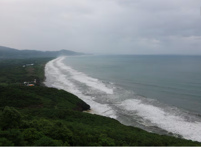
According to the NHC, hurricane conditions were expected in the warning area on Saturday night. Tropical storm conditions were forecast to spread across the region during Saturday afternoon and evening, while hurricane conditions were also possible in areas covered by a hurricane watch.
The storm’s proximity to the coast raised concerns about the combined effects of strong winds, heavy rain and rough seas.
Trudy’s forecast path brought parts of southwestern and west-central Mexico into the zone of potential impact. Manzanillo, located in Colima state, was among the areas being monitored as the hurricane moved northward towards the coastline.
Although the system was expected to weaken from Sunday, forecasters warned that hazardous conditions could persist during its approach and passage near the coast.
Heavy rainfall raises flooding and landslide risks
Heavy rainfall was among the main threats associated with Hurricane Trudy.
The NHC forecast rainfall totals of 4 to 8 inches (10 to 20 cm) across parts of Michoacan, Colima and Jalisco through the weekend. Isolated areas could receive as much as 12 inches (approximately 30 cm).
Such rainfall could cause rivers and streams to rise rapidly, overwhelm drainage systems and trigger landslides in vulnerable locations. Steep terrain was identified as a particular concern because saturated soil can become unstable during prolonged or intense rainfall.
The effects could extend beyond areas directly exposed to the strongest winds. Communities farther inland may also face flooding and slope failures as rain bands move across the region.
The NHC warned that the forecast rainfall could result in life-threatening flooding and landslides, highlighting the need for residents in vulnerable areas to take official warnings seriously.
Guerrero and Nayarit face flash-flood threats
The hurricane’s outer rain bands were also expected to affect Guerrero and Nayarit.
The NHC forecast rainfall of 2 to 4 inches (5 to 10 cm) in parts of the two states, with isolated totals of around 6 inches (15 cm).
Although these totals were lower than those forecast for parts of Michoacan, Colima and Jalisco, intense rainfall over a short period could still cause localised flash flooding.
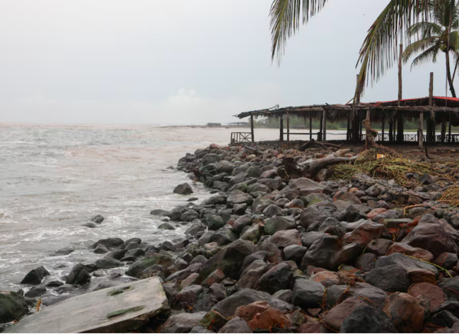
The rain bands could affect communities away from the hurricane’s centre, making the storm’s impact broader than the areas experiencing its strongest winds.
Local conditions, including drainage capacity, terrain and the duration of rainfall, will influence the severity of flooding in individual locations.
Storm surge and dangerous waves threaten coastal areas
Trudy was also expected to generate dangerous coastal conditions as it approached Mexico’s Pacific shoreline.
The NHC warned of a potentially dangerous storm surge accompanied by damaging waves in areas exposed to onshore winds. Storm surge occurs when strong winds push seawater towards the coast, raising water levels and increasing the risk of coastal flooding.
The hurricane was already generating swells affecting parts of Mexico’s southwestern coast. Those swells were expected to spread northward towards the west-central coastline through the weekend.
The NHC cautioned that the resulting surf and rip currents could create life-threatening conditions.
Rip currents are powerful channels of water moving away from the shore. They can pull swimmers away from beaches and pose serious risks even when conditions appear manageable from the coastline.
The warnings therefore covered not only residents in coastal communities but also people visiting beaches or engaging in water-based activities.
Mexico classifies Trudy as a Category 2 hurricane
CONAGUA officially classified Trudy as a Category 2 hurricane, while the NHC reported maximum sustained winds of 100 mph (155 kmph) on Saturday afternoon.
Hurricane categories are based primarily on sustained wind speeds and provide an indication of a storm’s wind intensity. However, a hurricane’s overall danger also depends on rainfall, storm surge, waves and the exposure of communities along its path.
Trudy’s projected rainfall totals were a major concern because flooding and landslides can cause extensive damage even when a storm’s strongest winds remain concentrated near the coast.
The expected weakening on Sunday did not mean that the threat would immediately disappear. Heavy rain, rough seas and dangerous currents could continue to affect parts of the region as the system moved along the coastline.
What happens next?
Forecasters expected Hurricane Trudy to approach the southwestern and west-central Mexican coast and pass near the shoreline overnight into Sunday. The storm could strengthen slightly before beginning to weaken during the day on Sunday.
The immediate focus remains on the risks from heavy rainfall, flooding, landslides and coastal hazards across the affected states.
Parts of Michoacan, Colima and Jalisco faced forecasts of up to 8 inches of rain, with isolated totals reaching around 12 inches. Guerrero and Nayarit were also expected to receive significant rainfall from Trudy’s outer bands.
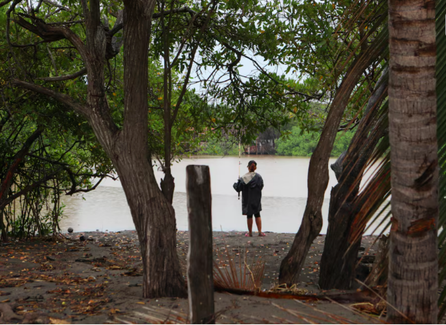
Dangerous storm surge, damaging waves and rip currents added to the hazards facing coastal communities.
Although Trudy was forecast to weaken, its approach was expected to bring hazardous weather through the weekend. The storm’s eventual impact will depend on its track, rainfall distribution and the conditions experienced in vulnerable coastal and mountainous areas.