







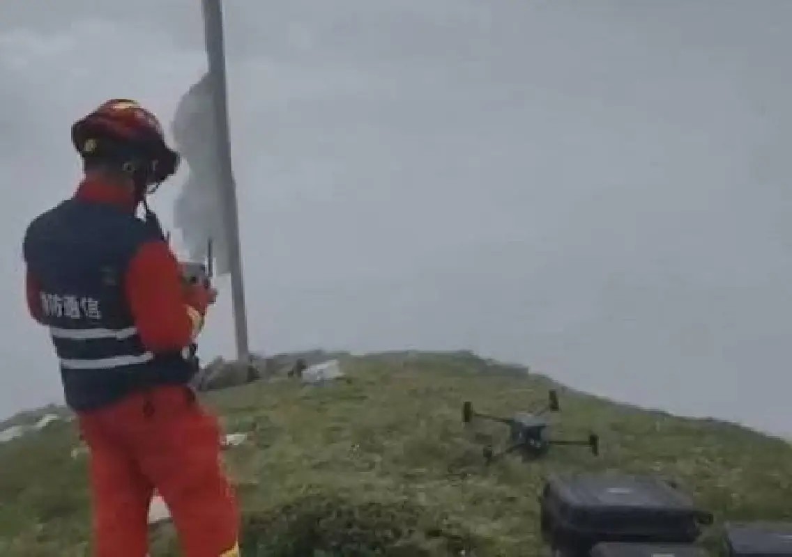


Gyirong: Portable automatic weather stations and satellite remote sensing technology are being used to support rescue and disaster assessment operations at mudslide-hit Gyirong Port in southwest China’s Xizang Autonomous Region.
The China Meteorological Administration (CMA) said on Saturday that three portable weather stations have been deployed in the rescue zone to provide targeted weather information for road restoration, search and rescue operations, drone flights and surveys of the barrier lake.
Weather stations support rescue teams
The three stations are providing weather support in areas where rescue workers are operating under challenging conditions. Meteorological teams are using the information to help assess weather-related risks and support critical rescue activities.
Showers were forecast for Saturday evening over Gyirong Port and the barrier lake, with moderate rain expected at night. Lighter rain was forecast for Sunday and Monday.
Satellites help map the disaster
Satellite remote sensing is also being used to assess the damage caused by the mudslide. Meteorological teams are monitoring the port, the collapsed mass, the landslide path and the barrier lake through satellite data.
The information is being sent to the on-site command and rescue base to assist teams in assessing conditions and planning operations.
Technology helps keep rescue crews safe
The mudslide was triggered after part of a glacier broke off on the Nepalese side of the border and plunged towards Gyirong Port on August 26, causing widespread destruction within minutes.
Authorities plan to strengthen weather monitoring and early-warning systems in the coming days. Fengyun satellites, weather radar and data from multiple sources will be used to assess rainfall intensity, location and duration around the rescue areas.
Meteorological authorities will also continue providing rolling forecasts and risk warnings to help departments coordinate rescue activities and protect personnel working in the disaster zone.