Large parts of the United States are preparing for what could be one of the warmest Christmas periods on record, as a vast bubble of warm air builds over the country’s south-central region and expands eastward during the week.
Meteorologists say the shift follows a dramatic change in the jet stream, which is bulging northward across the middle of the nation. This pattern is allowing unseasonably warm air to surge in, replacing the bitter cold seen just weeks ago when a weakening polar vortex pushed Arctic air deep into North America.
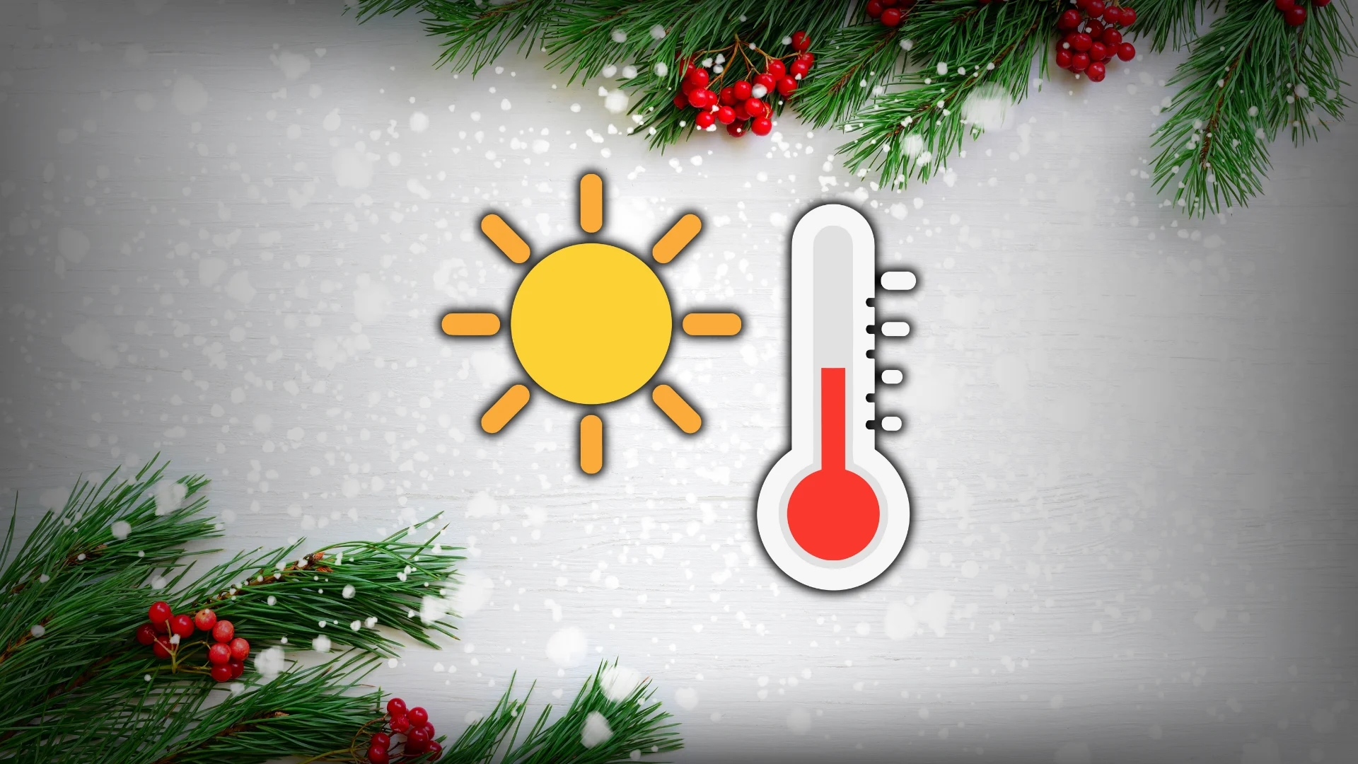
Temperatures soar far above normal
According to AccuWeather, nearly two dozen states are expected to experience temperatures 15–30 degrees above historical averages by Christmas Day.
“At this level, the warmth will be comparable to late April or early May,” AccuWeather meteorologist Alyssa Glenny said, adding that the most pronounced warmth will stretch from parts of the Rockies to the Plains, Midwest, and Appalachians.
Christmas Day itself is likely to see the highest number of tied or broken temperature records of the entire week.
Cities set to break Christmas records
Several cities are forecast to challenge long-standing December records, including Tulsa and Oklahoma City in Oklahoma, Wichita in Kansas, Albuquerque in New Mexico, and Amarillo in Texas.
Oklahoma City, in particular, could see highs in the upper 70s Fahrenheit, nearly 30 degrees above its seasonal average, which typically sits in the upper 40s. Some locations may also experience record-breaking warm nights, with minimum temperatures rivaling or exceeding records set as far back as the mid-1900s.
Meteorologists say this could make it the warmest Christmas in a lifetime for some residents.
Fog and clouds may temper the warmth
While the warm air mass dominates, forecasters warn that low clouds and dense fog could become a significant issue from the Gulf Coast through the Ohio Valley, Appalachians, and parts of the Atlantic coast.
The same weather pattern driving warmth is also pulling moisture northward from the Gulf of Mexico. Where cloud cover persists, daytime temperatures could be held back by 10–20 degrees, and fog may disrupt road traffic and flight operations.
Northeast sees mixed impact
In contrast, the Northeast is expected to see brief or limited warm-ups due to frequent clipper storms moving in from the Upper Midwest. These systems may reinforce pockets of cold air, preventing sustained warmth in that region.
Weather experts say the contrasting conditions highlight the growing variability in winter weather patterns, a trend increasingly observed in recent years.