







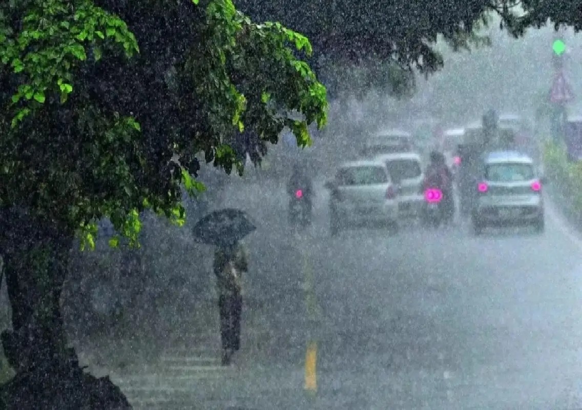


Bengaluru: The India Meteorological Department (IMD) has issued a weather warning for Karnataka, forecasting thunderstorms, lightning, strong winds and heavy rain in several parts of the state until August 24.
The forecast comes as monsoon activity is expected to intensify over coastal Karnataka and some interior regions in the coming days. The weather system is likely to bring moderate rainfall at several places, along with strong winds reaching speeds of around 30 to 40 kmph.
Residents, particularly in areas prone to heavy rain and strong winds, have been advised to remain alert as weather conditions could change rapidly.
Coastal Karnataka to receive rain
Dakshina Kannada, Udupi and Uttara Kannada districts are expected to receive moderate rainfall at several places during the forecast period.
The coastal districts are also likely to experience strong winds with speeds of around 30 to 40 kmph. The combination of rain, lightning and strong winds could affect normal activities, particularly in vulnerable locations.
In Dakshina Kannada, sunny and cloudy conditions are expected, with one or two spells of normal rainfall.
However, intermittent rainfall is likely in Sullia and Kadaba taluks as cloud movement is expected from the northwest towards the southeast.
The weather forecast indicates that rainfall may not be uniform across the district, with some areas experiencing brief spells while others remain relatively dry.
Udupi and Kasaragod forecast
Around Hebri and Karkala in Udupi district, cloudy weather accompanied by one or two spells of normal rainfall is expected.
The forecast for neighbouring Kasaragod district indicates sunny conditions with partly cloudy skies and one or two spells of normal rainfall.
The coastal belt is expected to remain under the influence of the strengthening monsoon activity, and residents are likely to experience intermittent rain over the coming days.
Bengaluru likely to remain cloudy
In Bengaluru, the Karnataka State Natural Disaster Monitoring Centre (KSNDMC) has forecast generally cloudy weather, with moderate rain possible in some areas.
Winds in the city could reach speeds of 30 to 40 kmph.
The maximum temperature in Bengaluru is expected to remain around 30 degrees Celsius, while the minimum temperature is likely to be around 21 degrees Celsius.
The city recorded 3.1 mm of rainfall during the preceding 24-hour period. Relative humidity stood at 85% at 8.30 am.
The combination of high humidity, cloudy skies and intermittent rainfall is expected to keep temperatures relatively moderate in the city.
Malnad receives good rainfall
The Malnad region has experienced good rainfall in recent days, particularly across the ghat areas of Kodagu, Chikkamagaluru, Shivamogga and Hassan districts.
The rainfall has resulted in rising water levels in some rivers, streams and other water bodies in the region.
The increased flow in water bodies comes as the monsoon becomes more active across parts of the state. However, continued heavy rainfall in the ghat areas could also increase the possibility of localised flooding, waterlogging and disruption along vulnerable stretches.
Authorities and residents in such areas are expected to monitor water levels and weather conditions closely.
Karnataka still faces rainfall deficit
Despite the recent increase in rainfall activity, Karnataka continues to record a significant monsoon deficit.
From June 1 until now, the state has received around 431 mm of rainfall against the normal 623 mm.
This represents an overall rainfall deficit of approximately 31%.
The expected increase in monsoon activity over coastal Karnataka and parts of the interior could help reduce the deficit in the coming days, although the impact will depend on the distribution and intensity of rainfall.
The state has experienced considerable variation in rainfall, with some regions receiving good showers while others continue to remain below normal.
Thunderstorms and lightning remain a concern
The IMD warning includes thunderstorms and lightning in addition to rain and strong winds.
Such conditions can develop quickly, particularly during periods of intense convective activity. Residents are therefore advised to exercise caution during thunderstorms and avoid exposed locations when lightning is occurring.
Strong winds of 30 to 40 kmph could also affect trees, temporary structures and outdoor activities in vulnerable areas.
People travelling during periods of heavy rain are likely to face reduced visibility and wet road conditions, particularly in areas receiving intense showers.
Monsoon activity expected to strengthen
The latest forecast indicates that monsoon activity is likely to become more active over coastal Karnataka and some interior parts of the state.
For coastal districts such as Dakshina Kannada, Udupi and Uttara Kannada, moderate rainfall and strong winds are expected to remain the main features of the weather.
The Malnad districts are also receiving substantial rainfall, with water levels rising in some rivers and streams.
Bengaluru, meanwhile, is expected to experience generally cloudy skies and intermittent moderate rain, with temperatures remaining around 30 degrees Celsius during the day.
With the IMD warning remaining in effect until August 24, residents across Karnataka are likely to see continued fluctuations in rainfall and wind conditions.
The strengthening monsoon activity could bring welcome rainfall to areas facing a deficit, while authorities and the public will need to remain watchful in locations vulnerable to heavy rain, lightning, strong winds and rising water levels.