Climate scientists around the world are closely tracking developments in the Pacific Ocean after sea surface temperatures crossed a critical threshold associated with the onset of El Nino, a climate phenomenon known for disrupting weather patterns globally.
According to the latest data from the European Centre for Medium-Range Weather Forecasts (ECMWF), warming in the tropical Pacific has exceeded the benchmark used to identify emerging El Nino conditions.
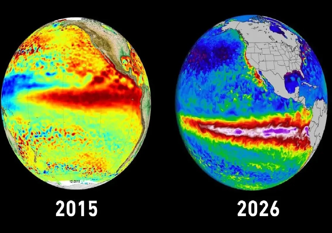
What is El Nino?
El Nino occurs when trade winds across the equatorial Pacific weaken, allowing warm ocean waters to spread eastward towards the coast of South America.
This shift disrupts normal ocean-atmosphere interactions and can significantly influence rainfall, temperatures and extreme weather events across different parts of the world.
The phenomenon derives its name from a Spanish term meaning “little boy” and typically develops every few years.
Concerns for India’s monsoon
For India, El Nino is often associated with weaker monsoon rainfall and increased chances of drought-like conditions in some regions.
Meteorologists have noted that temperatures in the crucial Nino 3.4 region of the Pacific have risen above the 0.5-degree Celsius threshold, a key indicator used to monitor El Nino development.
The development comes shortly after the southwest monsoon reached Kerala, slightly later than its normal onset date.
Scientists monitoring evolving conditions
Experts caution that an official El Nino declaration generally requires the warming pattern and associated atmospheric conditions to persist for several months.
Meanwhile, the India Meteorological Department (IMD) has already projected below-normal monsoon rainfall this year, estimated at around 90 per cent of the long-period average.
Scientists will continue monitoring ocean temperatures and atmospheric patterns to assess how strongly El Nino develops and what impact it may have on weather conditions in India and across the globe.