Official simulations released by Japan’s Cabinet Office Central Disaster Management Council present a stark scenario for the Hokkaido–Sanriku coastline. In a worst-case megaquake, tsunami heights could exceed 30 metres (98.4 feet) along parts of eastern Hokkaido and the rugged Sanriku Ria Coastline, known for its narrow, steep-sided bays.
These bays — essentially submerged river valleys — can magnify incoming tsunami waves dramatically, the simulations note.
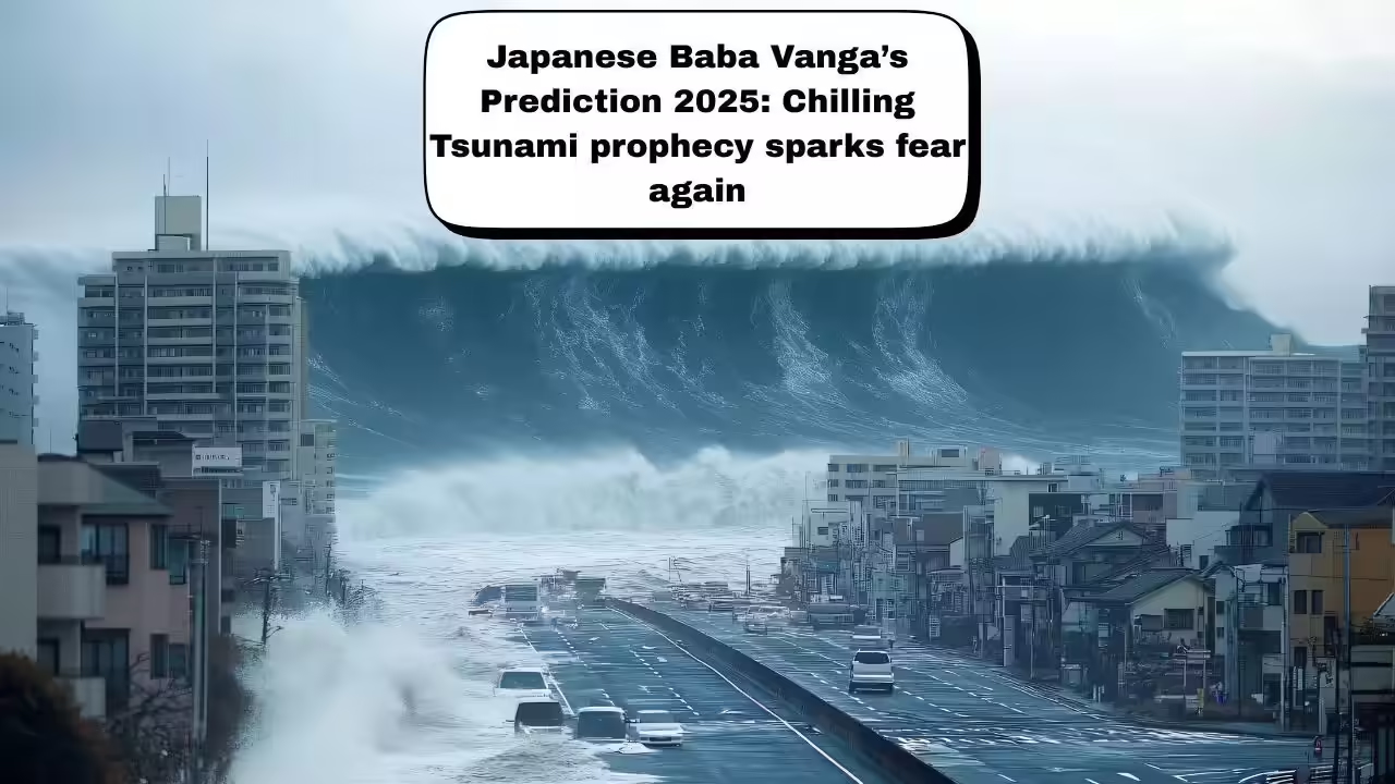
Low-lying regions could see flooding stretch 10 to 20 kilometres inland, with the first surge striking five to 10 minutes after the undersea rupture.
Officials estimate that such an event could lead to as many as 2,00,000 deaths, with drowning accounting for nearly 80 per cent of fatalities.
Readers may explore similar disaster-preparedness features at:
Why the region is at risk
The threat stems from the tectonic behaviour of the Japan Trench, where the Pacific Plate is subducting beneath northern Japan at a rate of roughly eight centimetres per year. A sudden large rupture along this boundary could lift sections of the sea floor by more than 10 metres, generating a massive tsunami.
The zone currently under advisory lies just north of the fault section that ruptured during the 2011 Tohoku earthquake — a magnitude 9.0 event that created the highest instrumentally recorded tectonic tsunami run-up in history.
Lessons from the 2011 Tohoku disaster
The Mw 9.0 Tohoku quake of March 11, 2011 produced a devastating run-up height of 40.5 metres (133 feet) at Miyako, Iwate. Run-up measures the maximum vertical height sea water reaches once it surges onto land — an indicator of both destructive power and inland penetration.
The quake triggered catastrophic loss of life, extensive coastal destruction and the Fukushima nuclear crisis, reshaping Japan’s disaster-management policies.
For additional background, see:
Japan’s narrow coastal geomorphology often funnels waves, causing them to grow dramatically taller as they enter constricted inlets. The US Geological Survey notes that such coastal geometry is a major reason Sanriku remains one of the most tsunami-prone locations in the world.
Probability remains low — but vigilance remains high
As of December 10, experts estimate the probability of a megaquake occurring in this region at around one per cent. But given the scale of potential devastation — including 100-foot waves and near-instant landfall — authorities stress that even a small probability is cause for continuous preparedness.
Japan continues to update evacuation routes, strengthen coastal defences and conduct large-scale community drills to ensure rapid response in the crucial minutes after a major rupture.