









Washington: Chinese satellite imagery and intelligence support have reportedly helped Iran improve its ability to track ships in the Strait of Hormuz and carry out more precise attacks on US military targets in the Middle East, according to US intelligence assessments cited by CNN. The information is also reported to have made some Iranian drones more effective against maritime targets.
The findings add a new dimension to the ongoing US-Iran conflict, with satellite-based intelligence emerging as an important part of Iran’s targeting capabilities. According to sources cited by CNN, Chinese groups have provided data that allows Iranian forces to better understand the location and movement of targets.
The claims concern Chinese groups and companies rather than establishing that the Chinese government itself directly ordered or conducted the support. Previous reporting has also indicated that Beijing has rejected allegations of improper assistance to Iran.
Chinese data reportedly improves drone targeting
Two sources cited by CNN said Iranian forces use Chinese satellite data to time drone launches more precisely. This is particularly significant for Iranian drones that lack sophisticated manoeuvring capabilities.
The satellite information can help Iranian forces determine when a ship is in a more vulnerable position, allowing drones to be launched at a time that increases the chances of reaching the intended target. According to the report, even relatively basic heat-seeking drones could pose a greater threat to ships when supported by better intelligence.
The development highlights how improvements in intelligence and targeting can increase the effectiveness of existing weapons without necessarily requiring major changes to the weapons themselves.
Strait of Hormuz becomes a key focus
The Strait of Hormuz is at the centre of the reported intelligence support because of its importance to global shipping and energy supplies.
According to the US intelligence assessments described by CNN, Chinese satellite imagery has helped Iranian forces monitor vessels travelling through the strategic waterway. The information reportedly gives Iran a better picture of maritime movements and can assist in deciding when and where to launch attacks.
The Strait connects the Persian Gulf with the Gulf of Oman and is one of the world’s most important oil-shipping routes. Any sustained disruption can affect international energy markets and shipping operations.
The reported improvement in Iranian surveillance therefore has implications beyond the battlefield, particularly for commercial vessels operating in the region.
Satellite imagery linked to attack on US base
The latest claims follow earlier reports concerning a July Iranian attack on a US military base in Jordan.
According to the CNN report cited by NDTV, US officials believe satellite imagery supplied by Chinese groups helped Iran conduct the attack with a degree of precision that American officials considered beyond what Iran had previously demonstrated. The strike on Muwaffaq Salti Air Base in Jordan killed three US service members.
Reuters reported earlier that a Wall Street Journal report had alleged that Iran obtained satellite imagery of the Jordanian base from Chinese entities before the attack. US President Donald Trump subsequently downplayed the report, saying China and the US both conduct surveillance activities.
The reports did not establish that the Chinese government itself directly supplied the imagery. The Wall Street Journal reporting cited unnamed US officials, while the latest CNN report refers to intelligence assessments and sources familiar with them.
Chinese companies have previously faced scrutiny
The latest allegations come after US authorities previously took action against Chinese companies accused of providing satellite imagery linked to Iranian military operations.
A Hudson Institute analysis said the Trump administration had sanctioned several China-based firms in May 2026 over alleged satellite-imagery support for Iran. The organisations identified in that analysis included MizarVision, Earth Eye and Chang Guang Satellite Technology.
The analysis said Earth Eye had provided imagery directly to Tehran, while Chang Guang, a commercial satellite company, had supplied imagery of US and allied military facilities. These are allegations and assessments from US authorities and analysts, rather than independently established findings in every individual case.
The issue has consequently become part of wider US concerns over China’s economic and technological relationship with Iran.
China has rejected similar allegations
Beijing has previously rejected allegations that Chinese entities were improperly supporting Iranian attacks.
After the July attack on the US base in Jordan, Chinese authorities pushed back against accusations that Beijing had provided military intelligence to Iran. Reuters reported that the Chinese Foreign Ministry said China follows international obligations and opposed what it described as baseless accusations.
Trump also did not directly accuse Chinese authorities when questioned about the earlier satellite-imagery report. Instead, he compared Chinese surveillance activities with those conducted by the United States.
This distinction is important because the latest reporting refers to Chinese groups and companies, while the evidence described publicly does not establish that China’s central government directed the specific assistance.
Impact on Iran’s military capabilities
The reported access to improved satellite intelligence could help Iran compensate for some of its technological disadvantages in the conflict.
Iran has relied heavily on missiles and drones as part of its strategy against US forces and other targets in the region. Better satellite imagery can provide information about the location of military facilities, ships and other assets, potentially improving the timing and selection of attacks.
The Hudson Institute has separately assessed that foreign space-based targeting information could help Iranian forces identify and prioritise important American military assets despite US air superiority.
However, satellite imagery alone does not determine whether an attack will succeed. Weather, electronic warfare, air defences, weapon reliability and the availability of real-time battlefield information can all affect the outcome.
Wider US-China tensions
The issue also comes at a sensitive time in US-China relations. Washington and Beijing are managing disputes over trade, technology, Taiwan and China’s relationship with countries affected by US sanctions.
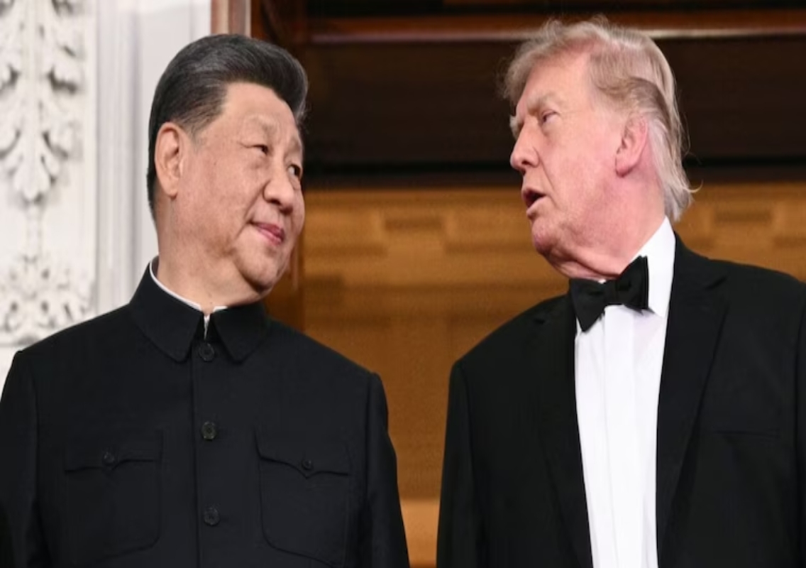
Reuters reported that China’s relationship with Iran was among the issues surrounding recent discussions between Trump and Chinese President Xi Jinping. Beijing has also faced scrutiny over its economic ties with Tehran and alleged sanctions-evasion activity.
The reported satellite support could therefore add another layer to already complicated US-China relations, particularly if Washington concludes that Chinese companies are providing military-use information to Iran.
Conclusion
US intelligence assessments cited by CNN indicate that satellite imagery and intelligence support from Chinese groups have helped Iran improve its targeting of ships and US military positions. The reported assistance could make existing Iranian drones and missiles more effective by improving the timing and accuracy of attacks.
At the same time, the publicly available reporting distinguishes between Chinese commercial or other groups and the Chinese government itself. Beijing has previously rejected similar allegations, while Trump has downplayed an earlier report involving Chinese satellite imagery. The extent of China’s involvement in Iran’s military operations therefore remains a matter of continuing US intelligence assessments and diplomatic dispute.